Localization and connected map services
By combining various sensors and technologies like GPS, inertial sensors, radar, and cameras, we engineer localization functions and connected map services. These also serve as the basis for automated driving.
Connected map services
Connected map services support driver assistance systems, making driving more convenient. They provide a foundation for automated driving by supplying continuously updated data on road and traffic conditions.
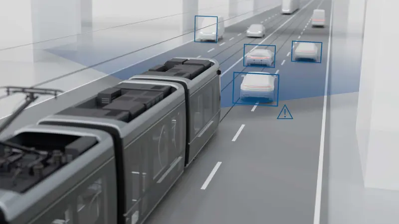
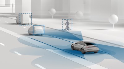
Detection of road hazards: vehicle sensors and cloud-based services are used to assess the weather and visibility conditions so that obstacles can be detected at an early stage.
Recognition of behavioral patterns: typical driving behavior based, among other things, on swarm trajectories is evaluated for route optimization purposes.
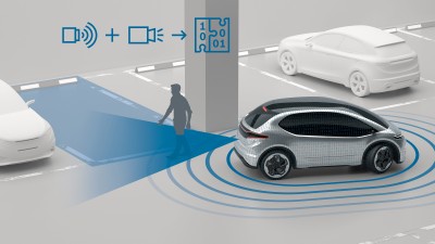
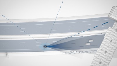
Vehicle localization: the exact determination of the vehicle position based on landmarks, radar and video sensors, as well as GPS data is a basic requirement for automated assistance systems.
Find out more
We engineer the connected map technology of the future, helping you master the challenges of assisted and automated driving. We employ components and software that are tested and validated in large-volume production. We integrate the functions into your system and can make individual adjustments at your request. In doing so, we always keep an eye on costs and quality.
- We have extensive experience in the field of driver assistance
- We offer engineering services for connected maps encompassing everything from the initial customer request to volume production release
- Our focus is on small-batch applications
- The ADAS components from the Bosch portfolio are available off-the-shelf
- We work with vehicle manufacturers across the globe
Localization
We ensure reliable and accurate localization of your vehicles at all times based on the interaction between surround sensing systems, inertial sensors, and satellite navigation. This is an essential requirement for automated driving functions.
For automated maneuvers, such as automatic lane changes, exact vehicle localization is essential for avoiding any misinterpretation of the surroundings. To ensure maximum safety levels, we employ a system consisting of motion and position sensors in combination with 6D inertial sensors, and we also use surround sensing systems such as radar and video to determine the road signature. For improved navigation, we utilize a correction service which transfers the position data of landmarks to a data center and can detect even the smallest deviations. With this highly available localization system, we are setting standards for the future tasks to be tackled by the automotive industry.

Find out more
We engineer the vehicle localization technology of the future and support you in mastering the challenges of assisted and automated driving. We employ components and software that are tested and validated in large-volume production. We integrate our functions into your mobility system and can make individual adjustments at your request. In doing so, we always keep an eye on costs and quality.
- We have extensive experience in the field of driver assistance
- We support you with engineering services for vehicle localization encompassing everything from the initial customer request to volume production release
- Our focus is on small-batch applications
- The ADAS components from the Bosch portfolio are available off-the-shelf
- We work with vehicle manufactures all across the globe

